The heart that no one made
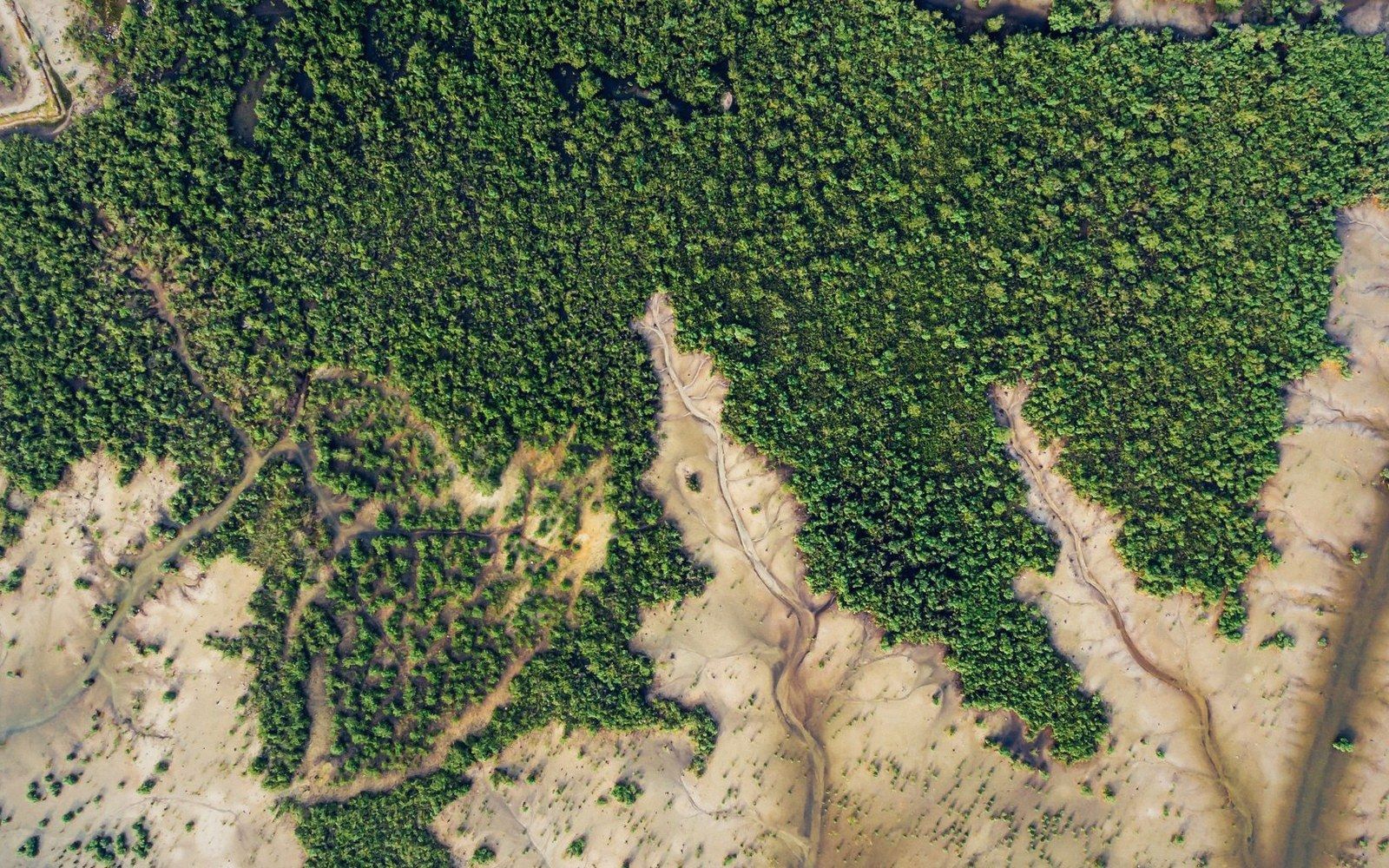
From the air, the mangrove belt along the north-west coast of Grande Terre is interrupted, near Voh, by a clearing that reads unmistakably as a heart. The image is real — Yann Arthus-Bertrand photographed it for his Earth from Above project — and has since accumulated the usual mythology of deliberate shaping, sacred marking, or tourist engineering.
None of that is accurate. The clearing exists because mangroves die where the substrate fails them, and in this patch the salinity and drainage conditions do not suit any of the species that dominate the surrounding forest. The shape is a coincidence of hydrology and the aerial perspective.
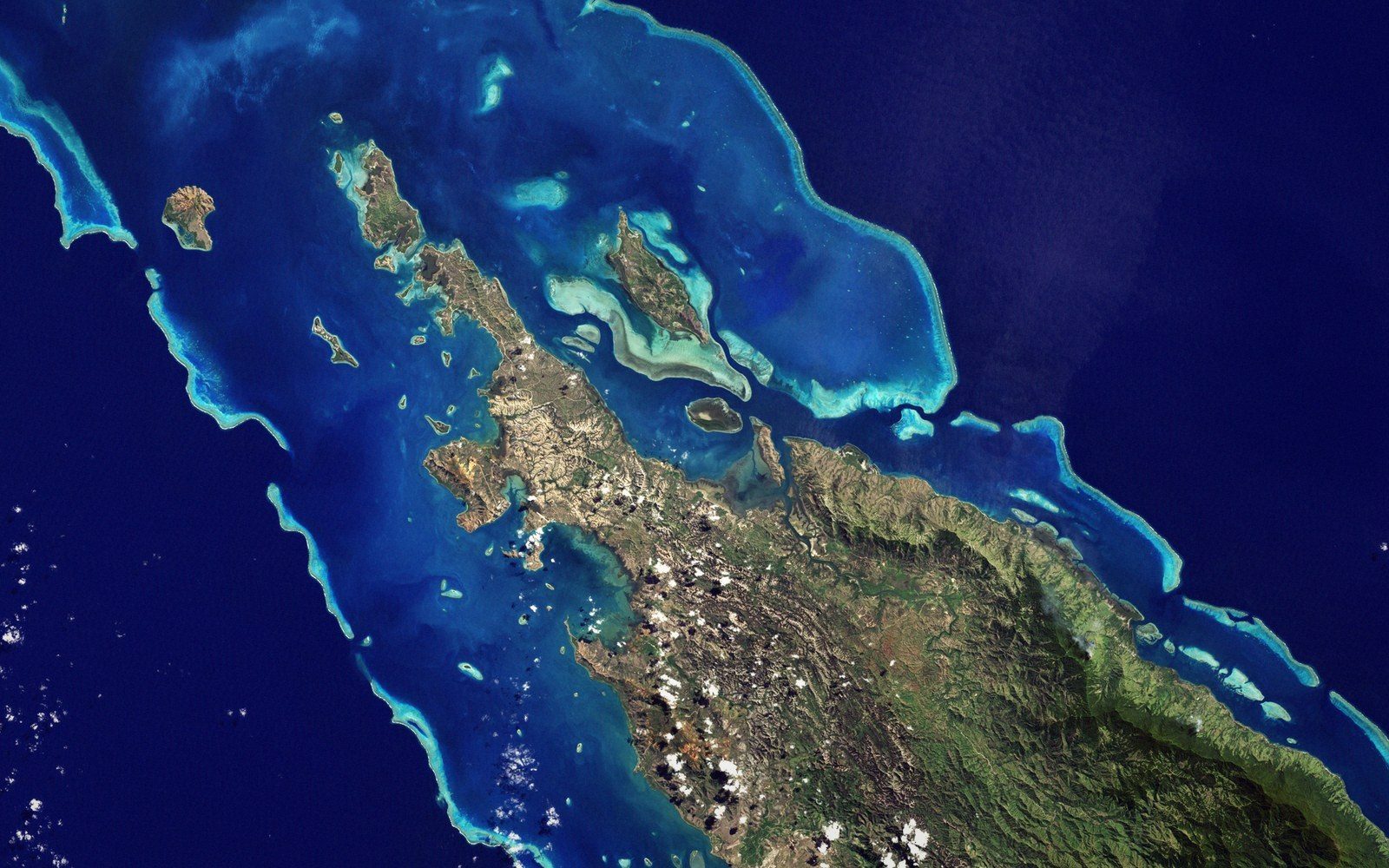
The forest around it is not incidental. New Caledonia's north-west coast carries one of the most extensive mangrove systems in the Pacific, and the stands near Voh belong to a stretch that runs north toward Poum across tidal flats fed by rivers draining the ultramafic massifs inland.
The trees are predominantly Rhizophora species — stilt-rooted, with Avicennia sending pneumatophores up from anaerobic mud — alongside Avicennia marina and Bruguiera, all tolerant of salt and intermittent inundation. Together they form a transitional zone between the lagoon and the dry forest above the tide line, trapping sediment, damping storm energy, and providing nursery habitat for fish that move between estuarine and reef environments.
The clearing itself sits where a subtle change in tidal drainage — possibly influenced by a shallow subsurface ridge — leaves the soil saltier and less oxygenated than the surrounding mud. Even Avicennia, the most salt-tolerant of the local species, cannot persist there.
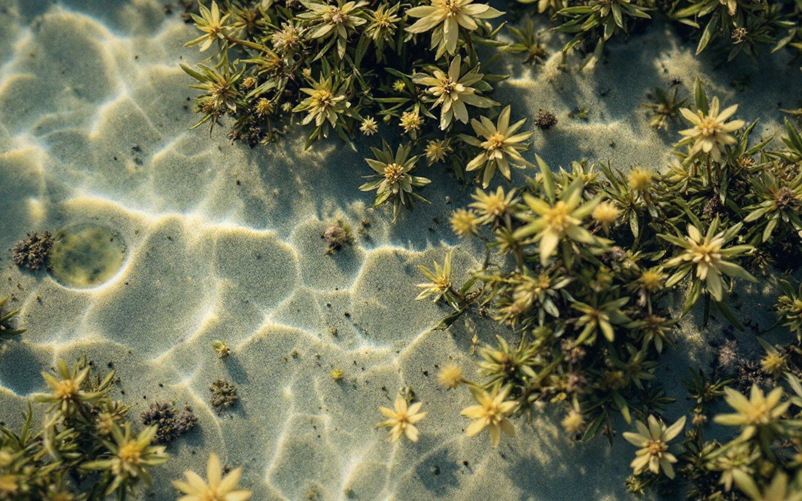
What grows instead is low, sparse halophytic grass and bare hypersaline pan, pale against the dark canopy when seen from altitude. The heart shape is a product of viewing angle as much as ground truth: from the ground, you see only gap and mud edge.
Field notes
Facts, threats and strongholdsKey terms
- pneumatophores — aerial breathing roots projecting from the mud, characteristic of Avicennia and related species
- hypersaline pan — bare, extremely salty flat where evaporation concentrates salt faster than rainfall dilutes it
- halophyte — a plant physiologically tolerant of high salt concentrations
What the clearing actually is
- Location: north-west coast of Grande Terre, near Voh
- Cause: localised hypersaline and low-oxygen substrate — not human-made
- Shape: coincidence of ground hydrology and aerial viewing angle
- Famous image: Yann Arthus-Bertrand, Earth from Above series
What the clearing illustrates is a principle that runs through all of New Caledonia's coastal ecology — small shifts in substrate chemistry produce sharp boundaries in vegetation, a pattern familiar from the maquis minier on metalliferous soils inland but visible here in the intertidal zone too.
The lagoon side of the mangrove grades into seagrass and soft sediment; the land side grades into scrub and then forest. The heart at Voh sits within that gradient, a gap formed by the same logic as every other edge in this landscape: chemistry sets the terms, and the plants either meet them or do not.