What the reef is
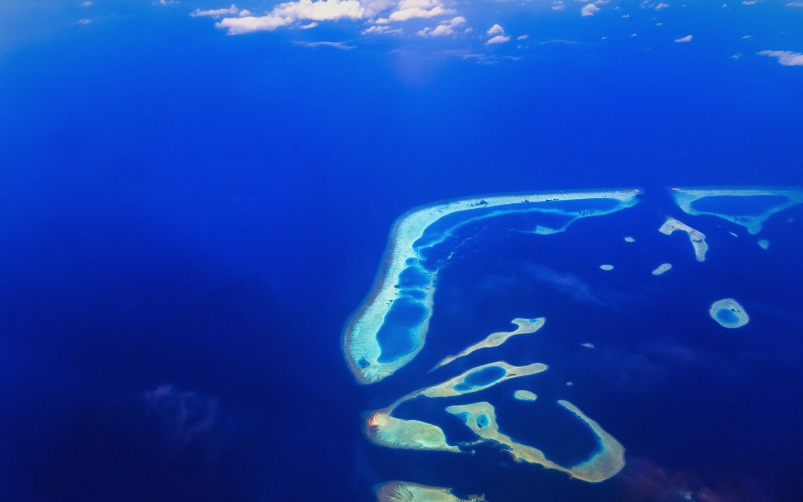
New Caledonia's barrier reef is not one continuous wall. It is a system: a main outer reef tracking the western and eastern flanks of Grande Terre, closing around Île des Pins in the south, with the Loyalty Islands — Ouvéa, Lifou, Maré — sitting outside the main barrier on their own reef platforms further east.
Passes interrupt the reef at irregular intervals, exchanging lagoon water with the open Coral Sea. The whole structure took tens of millions of years to accumulate on a subsiding platform, with living coral building upward as the seafloor slowly dropped beneath it.
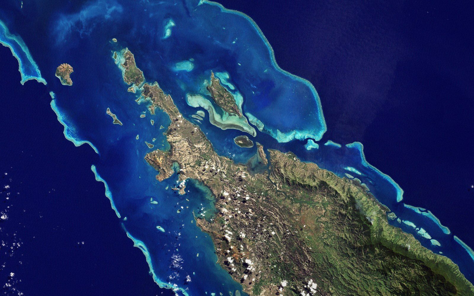
The outer reef crest is the highest-energy zone — wave-beaten, shallow, populated by encrusting and massive corals that can absorb constant surge. Behind it, the reef flat grades into the lagoon proper, where the water deepens and calms, and where coral growth takes a different form: branching, delicate, tuned to lower turbulence. The lagoon floor itself is a mosaic of seagrass meadow, carbonate sand, and patch reefs rising from the shallows.
What makes the New Caledonian system distinctive, beyond its sheer length, is the breadth of the lagoon it encloses. In many barrier reef systems the lagoon is narrow; here it is wide enough to behave as its own semi-autonomous sea, with internal circulation patterns, distinct sediment budgets, and water chemistry shaped as much by the land behind it as by the ocean in front.
The figures
Lifted out of the textThe UNESCO listing
In 2008, UNESCO listed the lagoons of New Caledonia as a serial World Heritage property, recognising six clusters spread across the main reef system and the Loyalty Islands. The listing cited the area's biodiversity, the structural integrity of its reef habitats, and the presence of species — dugongs, marine turtles, humphead wrasse, and an exceptional variety of sharks and rays — that have declined severely across much of the Indo-Pacific.
The Baie de Prony, an enclosed southern bay where warm spring water seeps through the seafloor, was included partly for its unusual chemistry and its role as a nursery for humpback whales that arrive each austral winter to calve.
The serial structure of the listing matters. Rather than drawing a single boundary around everything, it identified the most ecologically coherent and least-degraded zones — a design that acknowledges both the scale of the system and the mining and terrestrial run-off pressures that have affected parts of it. Nickel extraction inland, particularly around Thio and other eastern coast operations, delivers heavy metal-laden sediment into river systems that discharge into the lagoon, and localised turbidity and sedimentation remain ongoing concerns for reef health in those zones.
Reef and island geology
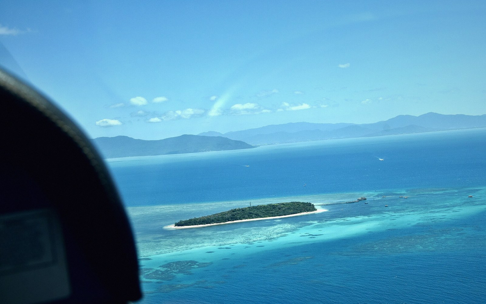
The reef's existence depends on a geological fact: New Caledonia is a wide, shallow-shelved landmass that rifted from Gondwana and then subsided gradually over geological time, providing the stable, sunlit platform that reef-building corals require. The ultramafic rocks that dominate the island's southern massifs do not, by themselves, generate runoff chemically hostile to corals — the damage, where it occurs, comes largely from physical sediment load, with metals carried in that sediment a further concern.
The reef and the island are products of the same deep history but run on different clocks: coral is constantly dying and rebuilding on a scale of decades to centuries, while the platform it grows on records events measured in tens of millions of years.
At the northern tip, around Poum, the reef geometry shifts: here the double barrier — two parallel reef lines separated by an inner channel — creates one of the more unusual structural arrangements in the Pacific. That duplication has no single agreed explanation, and the competing hypotheses involve sea-level history, subsidence rates, and the direction of dominant swell.
Field notes
Facts, threats and strongholdsReef zones (inner to outer)
- Lagoon floor — seagrass meadows, carbonate sand, patch reefs
- Reef flat — shallow, calmer, branching corals
- Reef crest — high-energy, wave-beaten, encrusting and massive corals
- Outer slope — drops into open Coral Sea
The reef as a whole is alive in the most literal sense: a collaborative structure built by corals, calcareous algae, and a hundred other organisms, continuously repaired and continuously at risk, sitting on one of the oldest pieces of continental crust in the Pacific.